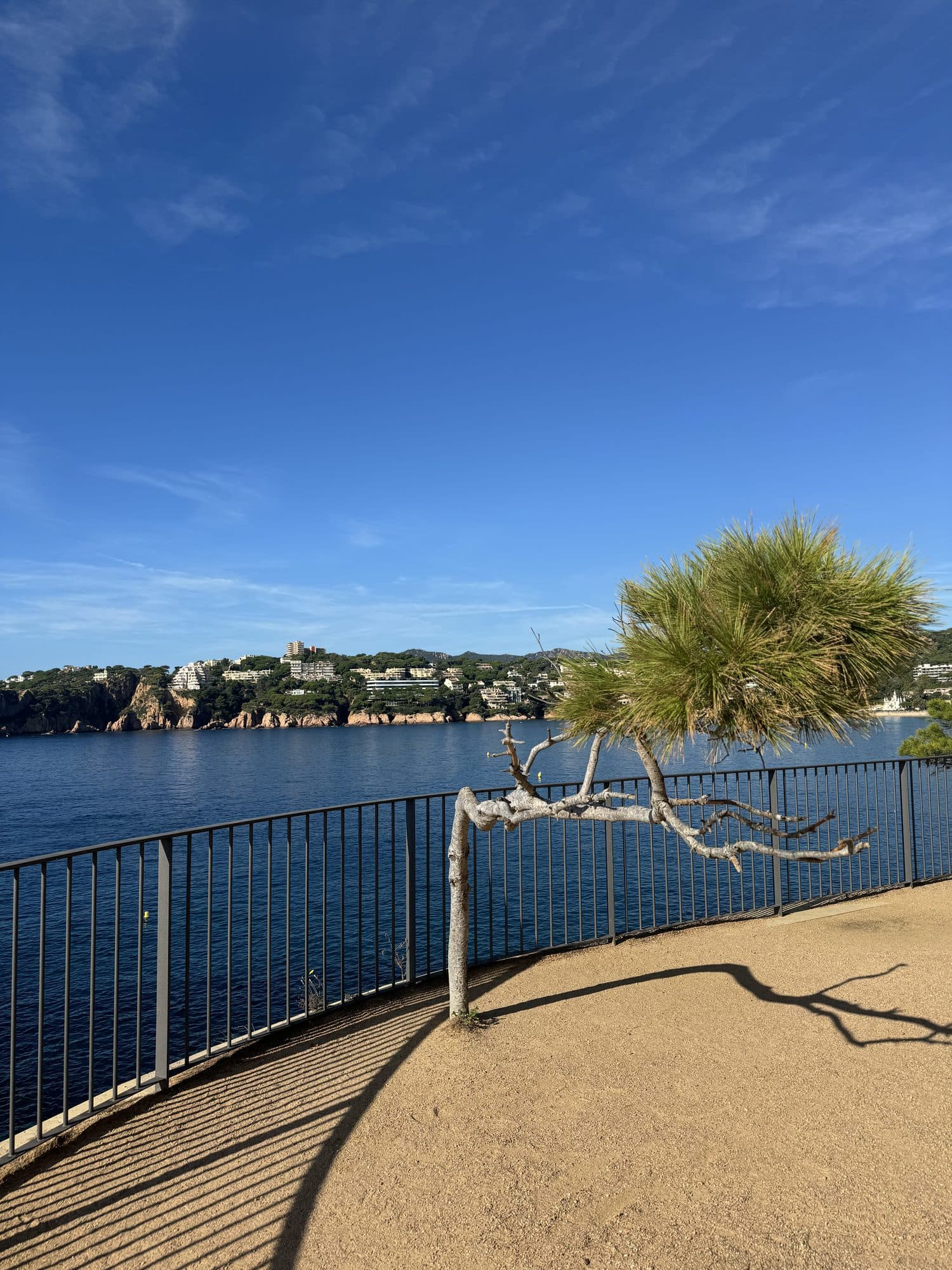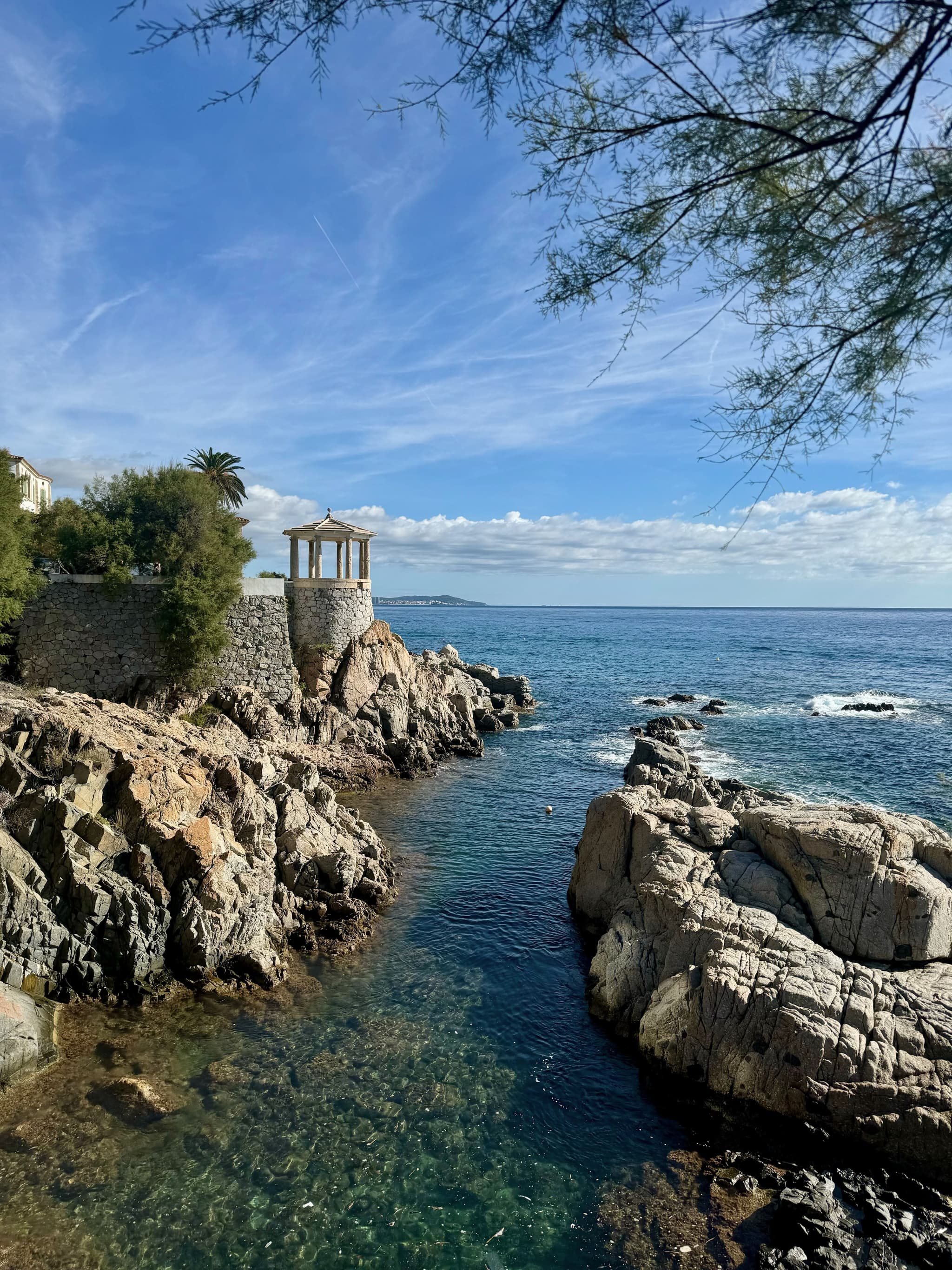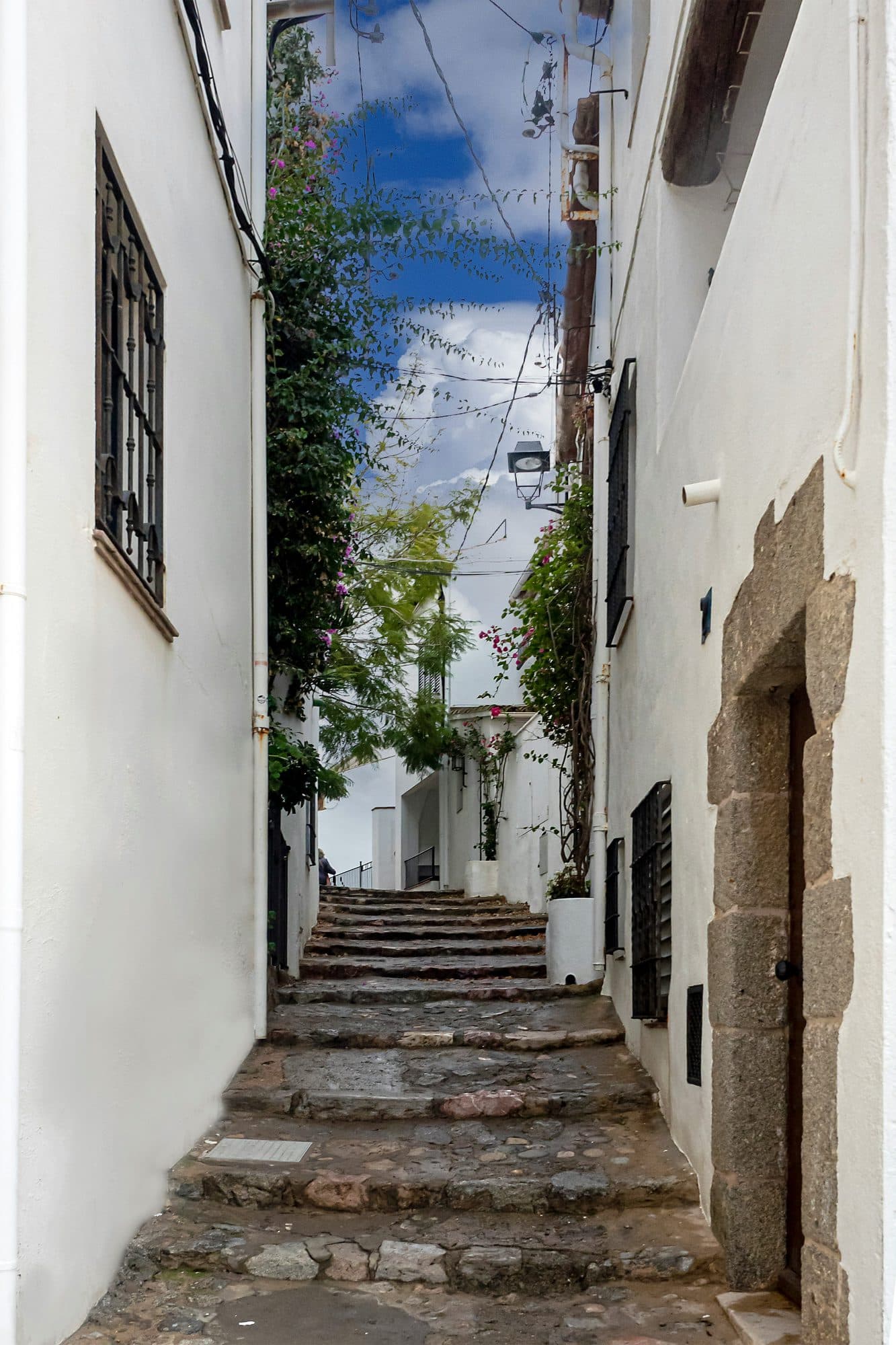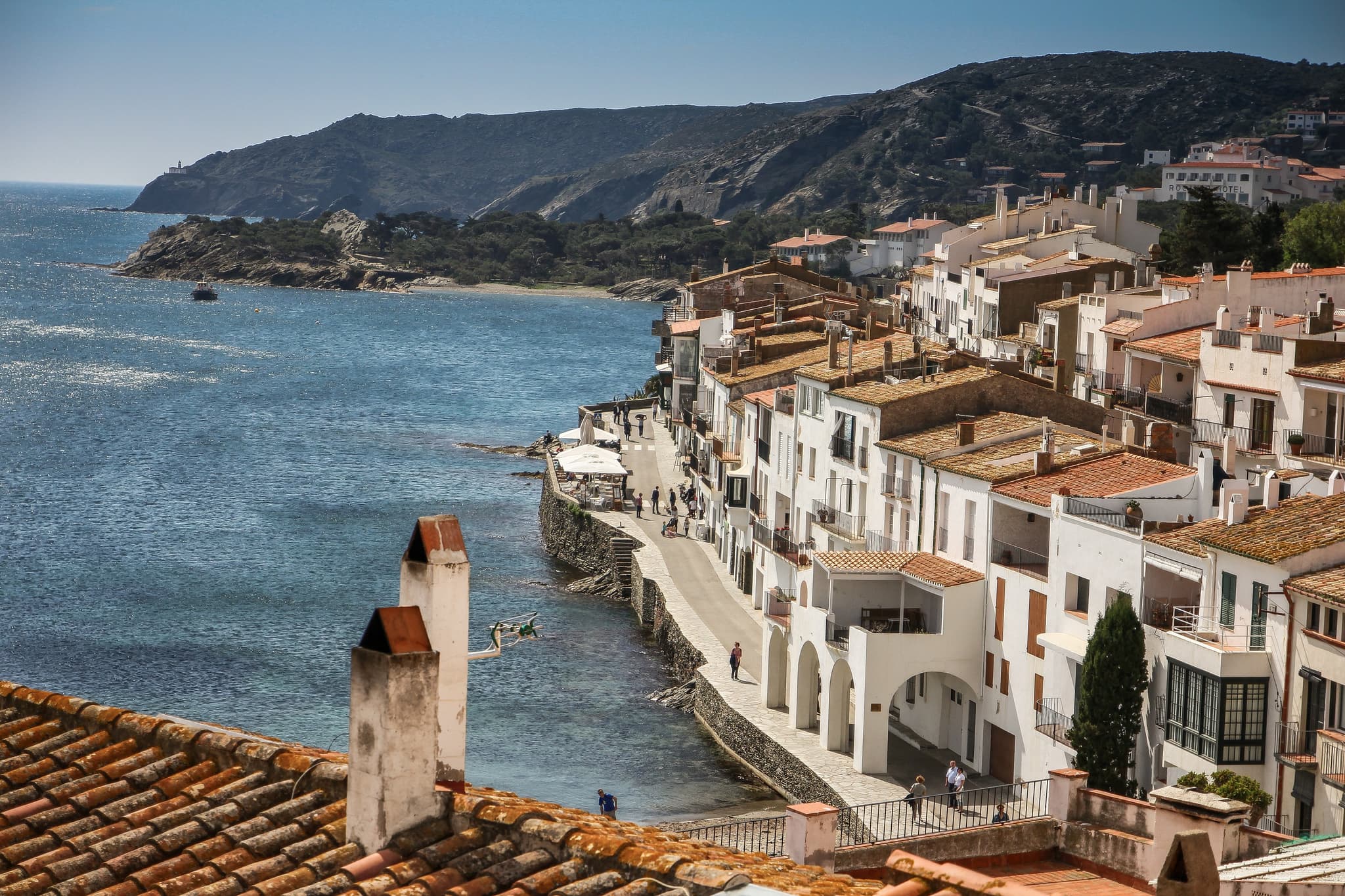
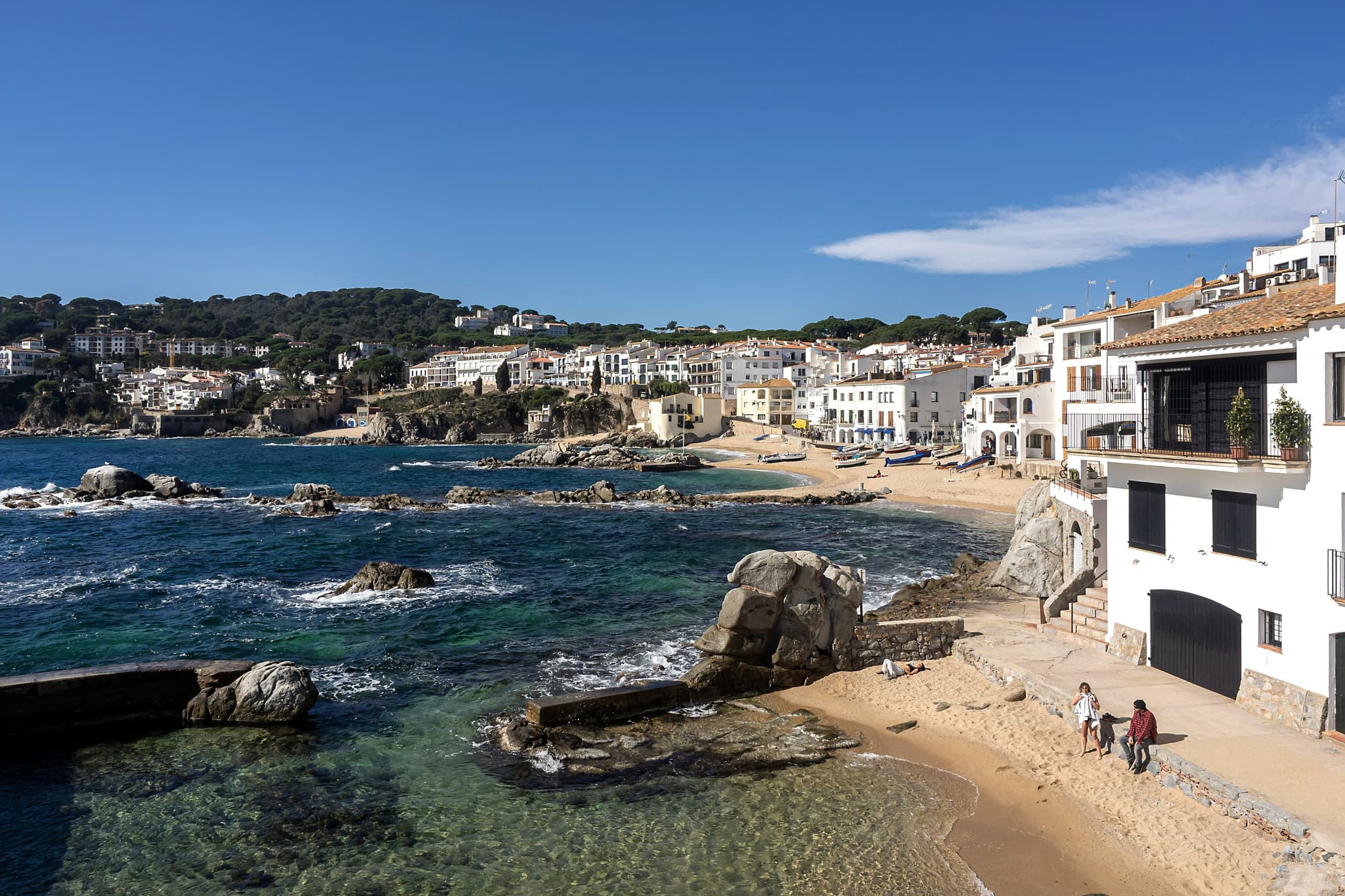
Some paths were built to get somewhere. Others were built to keep watch. The camí de ronda belongs to the second kind: it clings to the rock because from the rock you could see who was coming in off the sea. It guards nothing now, and that is exactly why it has become the best way to understand this coast, which hides itself from the road. Between Calella de Palafrugell, Llafranc and Tamariu lie seven kilometres of path and three villages that resemble each other very little, even though they share a municipality and almost touch.
At a glance
- Distance
- 7 km, one way
- Time
- 2 h 30 - 3 h
- Ascent
- +170 m net to the lighthouse
- Difficulty
- Moderate
- Waymarking
- GR-92 on the coast, PR-C 107 inland
- Best season
- October to May
What a camí de ronda actually is
These coastal paths are not repurposed tourist routes. They are the trace of a job: the carabineros, Spain's old coastguard, walked them to watch the shoreline and chase smugglers.
That is why they run where they run, along the exact edge of the cliff, never cutting inland, never losing sight of the water. When the watching stopped, the path stayed, and the walker inherited the finest ledge on the Mediterranean.
Along this stretch the route carries the red-and-white waymarks of the GR-92, the long-distance trail that follows the whole Catalan coast. You won't need a map. Follow the sea and the marks.
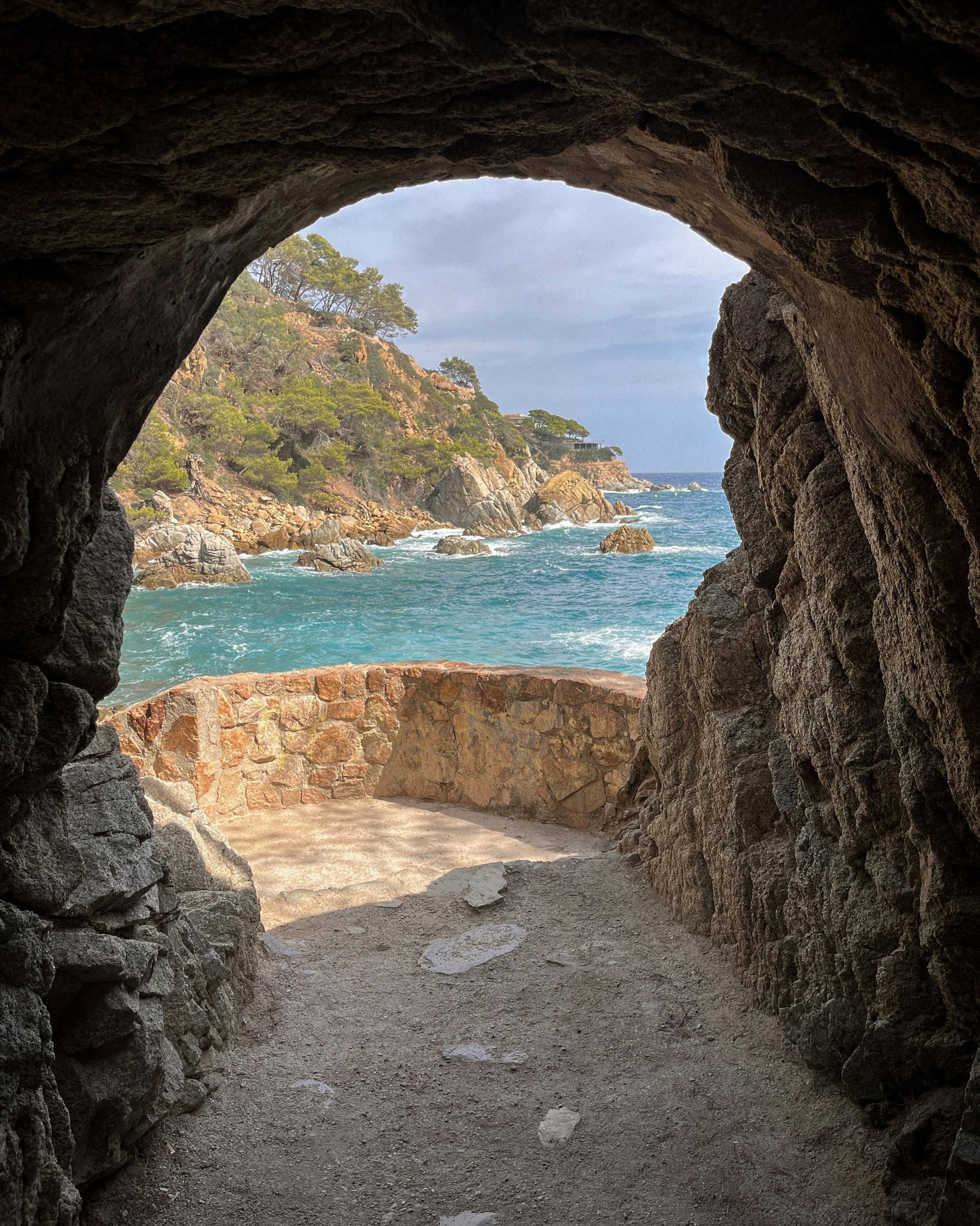
Calella de Palafrugell to Llafranc: 1.35 km
This is the easiest of the three stages, and the one plenty of people walk without realising they are on the camí de ronda at all. You leave Calella at its northern end, past El Canadell, and the path traces the rock at half height until it delivers you onto the seafront at Llafranc.
One kilometre and 350 metres, twenty to thirty minutes depending on how often you stop to look, with no climb worth the name.
What changes when you reach Llafranc is the character of the place. Calella is all narrow lanes, beached boats and white arches; Llafranc is an open bay and a straight promenade. Two hundred metres apart, and two different ways of facing the sea.
Tip
Before you set off, walk twenty minutes in the other direction: south, the same path leads to El Golfet and to the gardens of Cap Roig, which Dorothy Webster and Nicolai Woevodsky began planting on the cliff in 1927. It is the cala almost nobody builds into the walk.
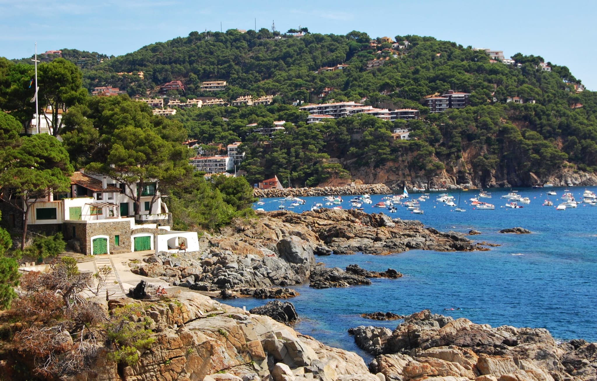
Llafranc to the Sant Sebastià lighthouse: the one real climb
Here the walk stops being a stroll. From the north end of Llafranc beach a run of steps and ramps gains around 170 metres in a little over a kilometre. It takes a long half hour with pauses.
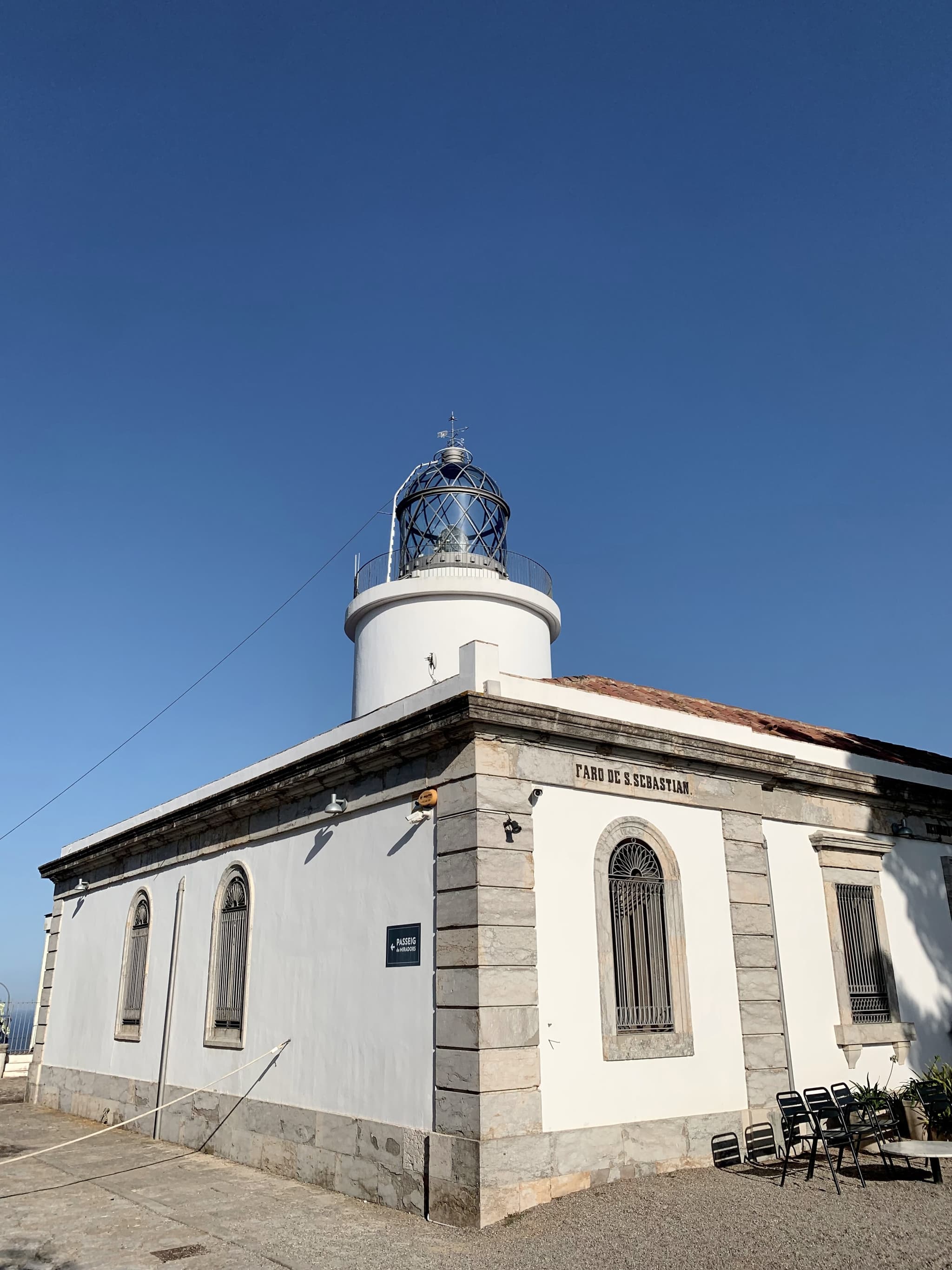
At the top stands the Far de Sant Sebastià, first lit on 1 October 1857 and still the most powerful lighthouse on the Catalan coast: its beam reaches 32 nautical miles out to sea.
But the lighthouse is the headland's most recent tenant. Beside it stand an eighteenth-century hermitage, an old pilgrims' inn and the remains of an Iberian settlement, because this balcony has been the best place to see who is coming for more than two thousand years.
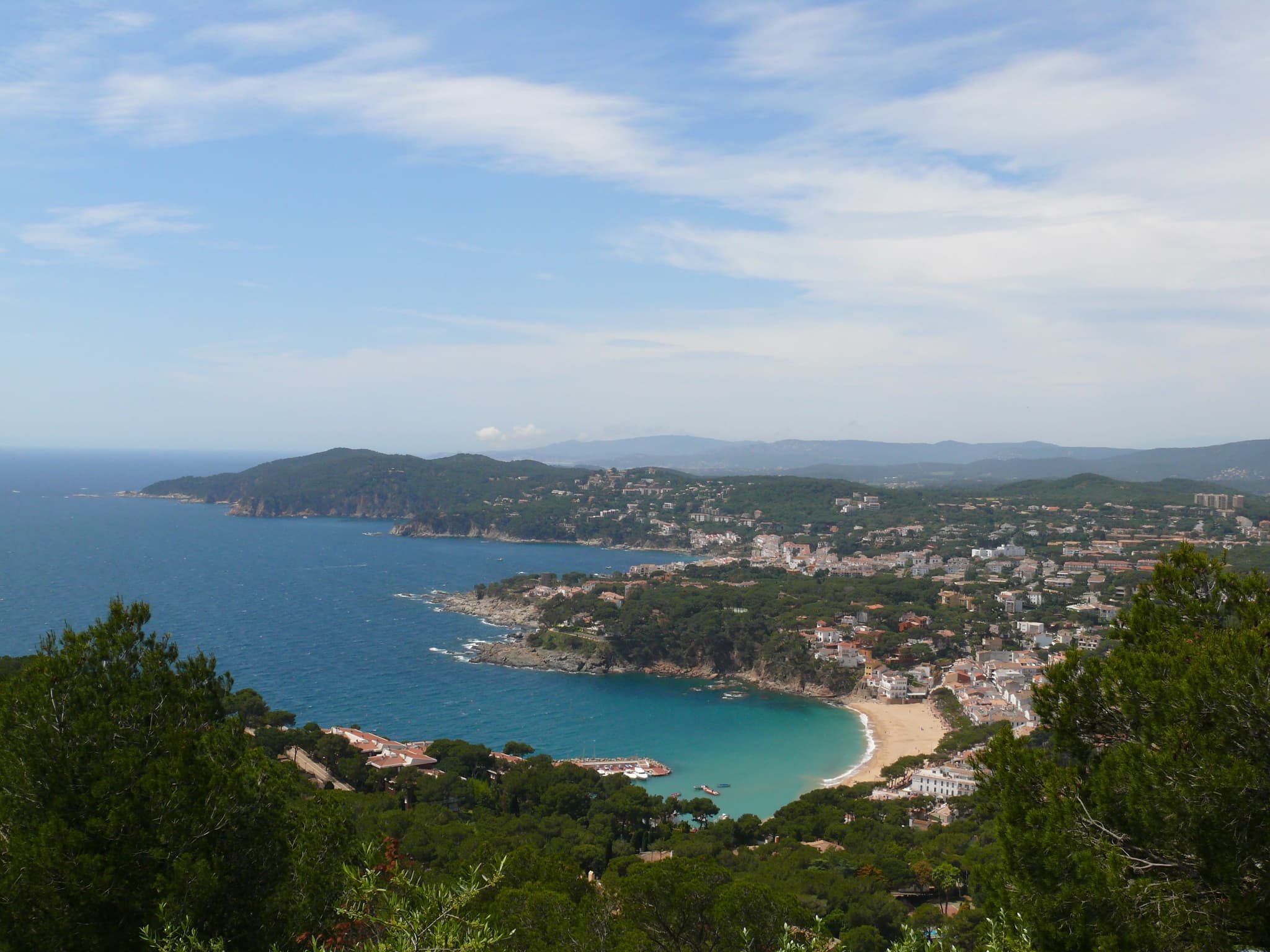
With the tramuntana blowing and the sky scoured clean, you can pick out the Cap de Begur, the Medes islands and, far off, the line of the Pyrenees. This is where almost everyone sits down without having planned to.
The view from the lighthouse
It is worth staying a while before walking on. From up here the shape of this coast makes sense all at once: the bays set one behind the other, the pine woods dropping to the rock and, below, the path still to come.
The lighthouse to Cala Pedrosa: 2.2 km
Past the lighthouse comes the stretch that justifies the whole day. The path drops through pines and returns to the rock, the sea always below and nobody around. In about forty-five minutes it sets you down at Cala Pedrosa.
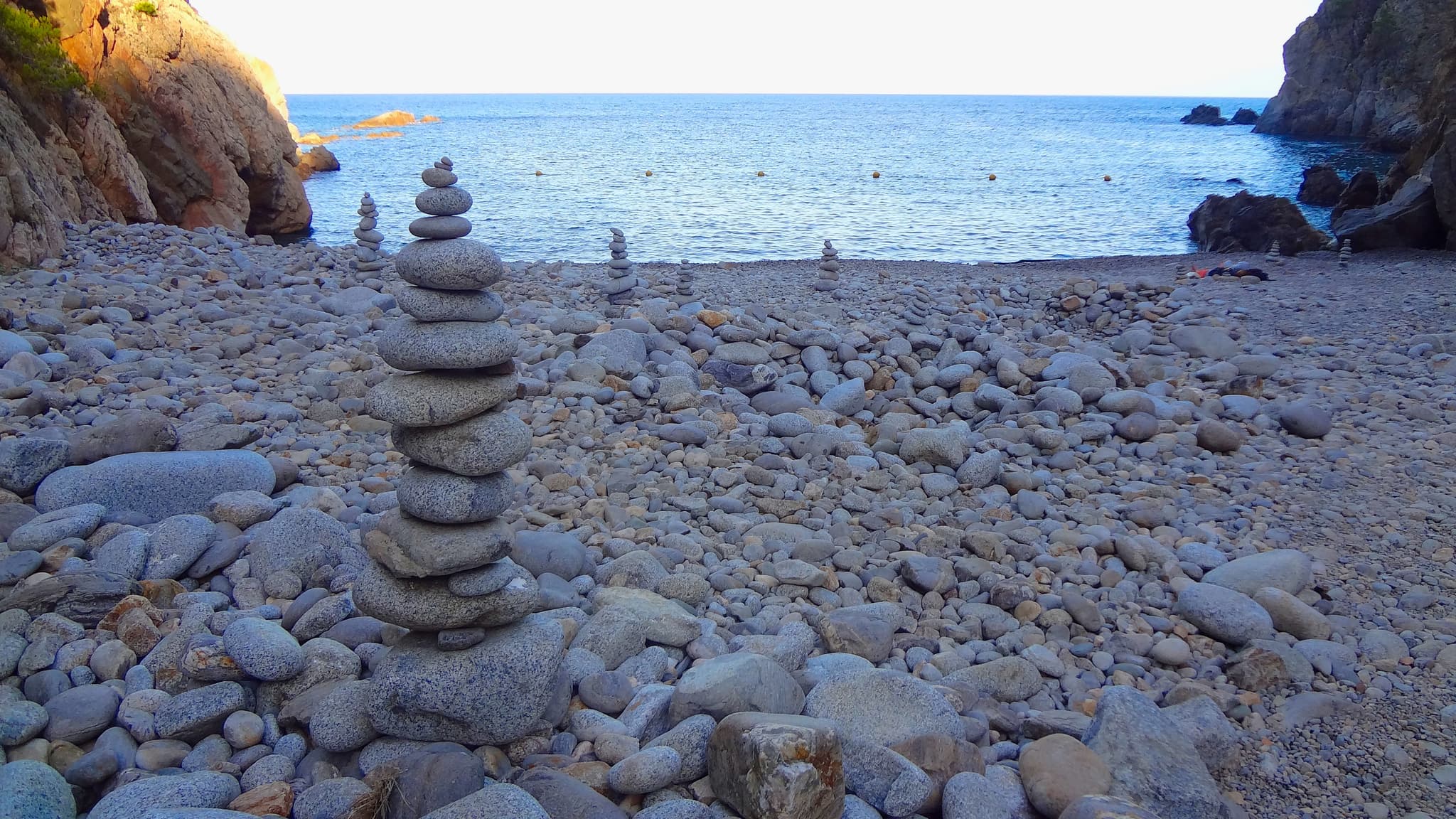
Not to be confused with the Cala Pedrosa at S’Agaró, further south. This one is a pebble beach with two old fishermen's huts, no beach bar, no sunbeds and no road.
You can only reach it on foot or by boat, and that is precisely why it is still what it is. If you plan to swim, count on nothing being there but what you carried in.
Cala Pedrosa to Tamariu: 2 km
The last stage is half an hour of Mediterranean woodland and steps cut into the stone, with lookouts appearing every few minutes, none of them signposted as such.
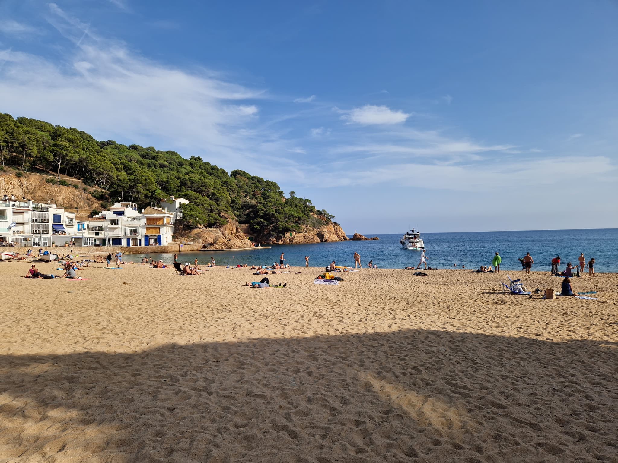
When the path finally opens onto the Platja Gran at Tamariu, the contrast lands every time: two hours of rock and pine behind you, and suddenly houses with their façades directly on the sand and people eating rice ten metres from the water.
Anyone who wants to keep walking has the coast north towards Aigua Xelida and Cala Marquesa. Anyone who doesn't has the best excuse in the world to stay put.
Heads-up
In heavy seas the camí de ronda access from Tamariu beach floods and becomes impassable. If the wind is coming in from the east, ask in the village before you commit.
The route in numbers
The full route links Calella de Palafrugell, Llafranc, the Far de Sant Sebastià, Cala Pedrosa and Tamariu. The effort is in the relentless steps, not the distance.
Treat the cumulative-ascent figures the apps give you with suspicion. The highest point on the route is the lighthouse, some 167 metres above the sea, so that is what you actually climb. The 350 or 420 metres quoted by AllTrails or Rutes Pirineus belong to the full loop, which climbs the Puig Gruí on the inland return.
- Water: there are no fountains, bars or facilities of any kind between Llafranc and Tamariu.
- Shoes with grip: some stretches of polished rock are slippery.
- Little shade past the lighthouse, from June to September.
- Best season: October to May. In summer, set off first thing in the morning or late in the afternoon.
| Stage | Distance | Time | Difficulty |
|---|---|---|---|
| Calella → Llafranc | 1.35 km | 20-30 min | Easy |
| Llafranc → Far de Sant Sebastià | 1 km approx. | 30-40 min | 170 m climb |
| Lighthouse → Cala Pedrosa | 2.2 km | 45 min | Moderate |
| Cala Pedrosa → Tamariu | 2 km | 30 min | Moderate |
| Total | 7 km | 2 h 30 - 3 h | Moderate |
How to plan it
The easiest way is to walk it one way and not walk back. The three villages are a few minutes apart by road.
- By car: leave the car at one end, make your way to the other and walk back, or solve the return with a taxi.
- Parking in Tamariu: a paid car park on Carrer de la Riera, right by the beach and in the shade, plus a couple of free gravel lots a little further out, on Carrer de la Tordera and Carrer de l’Equador. In July and August they fill before mid-morning.
- If you leave a second car in Tamariu, or someone is collecting you there at the end, do it first thing for the same reason. Walking in from Calella avoids the problem entirely.
- As a loop: the inland return is the PR-C 107, waymarked in yellow and white. It climbs the Puig Gruí and drops to Llafranc past the Can Mina dels Torrents dolmen, adding a little over four kilometres.
Tip
This walk is one of the few things on the Costa Brava that improve in November. The sea keeps its colour, the path is empty, and the lighthouse, on a day the tramuntana has cleared, shows you the Pyrenees. There is no need to wait for summer.
Frequently asked questions
How long does it take to walk from Calella de Palafrugell to Tamariu on the camí de ronda?
Two and a half to three hours one way, not counting stops or swims. The full route is about 7 kilometres, with the Sant Sebastià lighthouse roughly halfway along.
How long is the Calella de Palafrugell to Llafranc stretch?
1.35 kilometres, walked in 20 to 30 minutes depending on your pace. It is the easiest and flattest stage of the whole route, suitable for almost anyone.
Is the camí de ronda between Llafranc and Tamariu difficult?
It is moderate. Around 6 kilometres, and the highest point is the Far de Sant Sebastià at some 167 metres above the sea, so the net climb is about 170 metres. The effort is in the relentless steps rather than the ascent. The 350 or 420 metres of cumulative ascent quoted by some apps belong to the full circular route, with its inland return.
Can you walk it with children?
The Calella to Llafranc stage, yes, easily. Llafranc to Tamariu depends on their age: there are many steps, a few narrow passages beside the cliff and no water along the way, so it suits children who already walk well, with enough water carried in.
Where do you park for the walk?
All three villages have car parks. In Tamariu the paid one is on Carrer de la Riera, right by the beach, with a couple of free gravel lots a little further out on Carrer de la Tordera and Carrer de l’Equador. In July and August they fill before mid-morning, so if you plan to leave the car there, arrive first thing or park in Llafranc, which has more spaces.
How do you get back to the starting point?
The practical answer is to walk one way and return by car or taxi: Calella, Llafranc and Tamariu are a few minutes apart by road. If you prefer to walk back, the alternative is the PR-C 107, the short-distance trail waymarked in yellow and white, which climbs the Puig Gruí and drops to Llafranc on old field paths.
What is the best time of year to walk the camí de ronda?
October to May. The path is all but empty, the temperature is right for the climb to the lighthouse, and the sea keeps its colour. In high summer, set off first thing in the morning.
How do you get to Cala Pedrosa?
Only on foot along the camí de ronda, or from the sea. It lies about 2.2 kilometres from the Far de Sant Sebastià, some 45 minutes' walk, and about 2 kilometres from Tamariu, half an hour in the other direction. There is no road access and no facilities of any kind.