PuraCostaBrava
ES
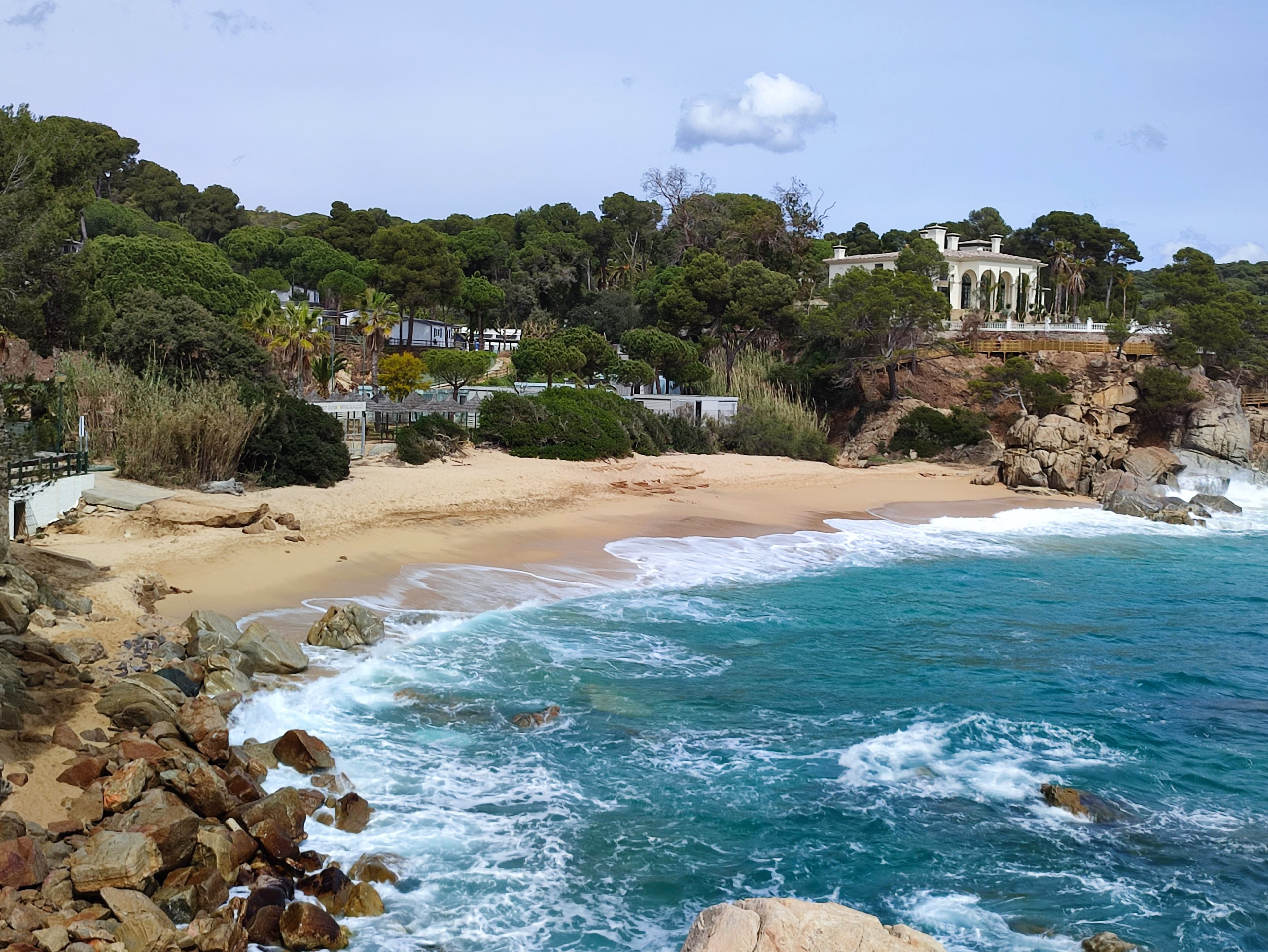
A golden-sand, turquoise-water cala in Sant Antoni de Calonge, between pines and rock, with a white villa on the cliff above

Baix Empordà

Sant Antoni de Calonge

Photo: Joandrés / Wikimedia Commons (CC BY-SA 4.0)

Sant Antoni de Calonge is, really, half a story: the municipality is called Calonge i Sant Antoni, two places with their own character just four kilometers apart. Sant Antoni is the seafront — promenade and beach; Calonge, inland, holds the castle and the medieval quarter that give the whole the other half of its identity. Stay on the sand alone, and you've missed half the town.

Calonge and Sant Antoni: two villages, one municipality

In the upper part of Calonge, the medieval castle — its towers and walls well preserved — has looked over the town since the eleventh century, alongside the Romanesque church of Sant Martí. The cobbled streets of the Barrio Antiguo, with their small squares and stone houses, are the exact reverse of Sant Antoni's seafront promenade, a short drive away.

On the coast, along the promenade, the old watchtowers are a reminder that this shoreline had to defend itself against pirates for centuries: the best known gives its name to the beach at Torre Valentina.
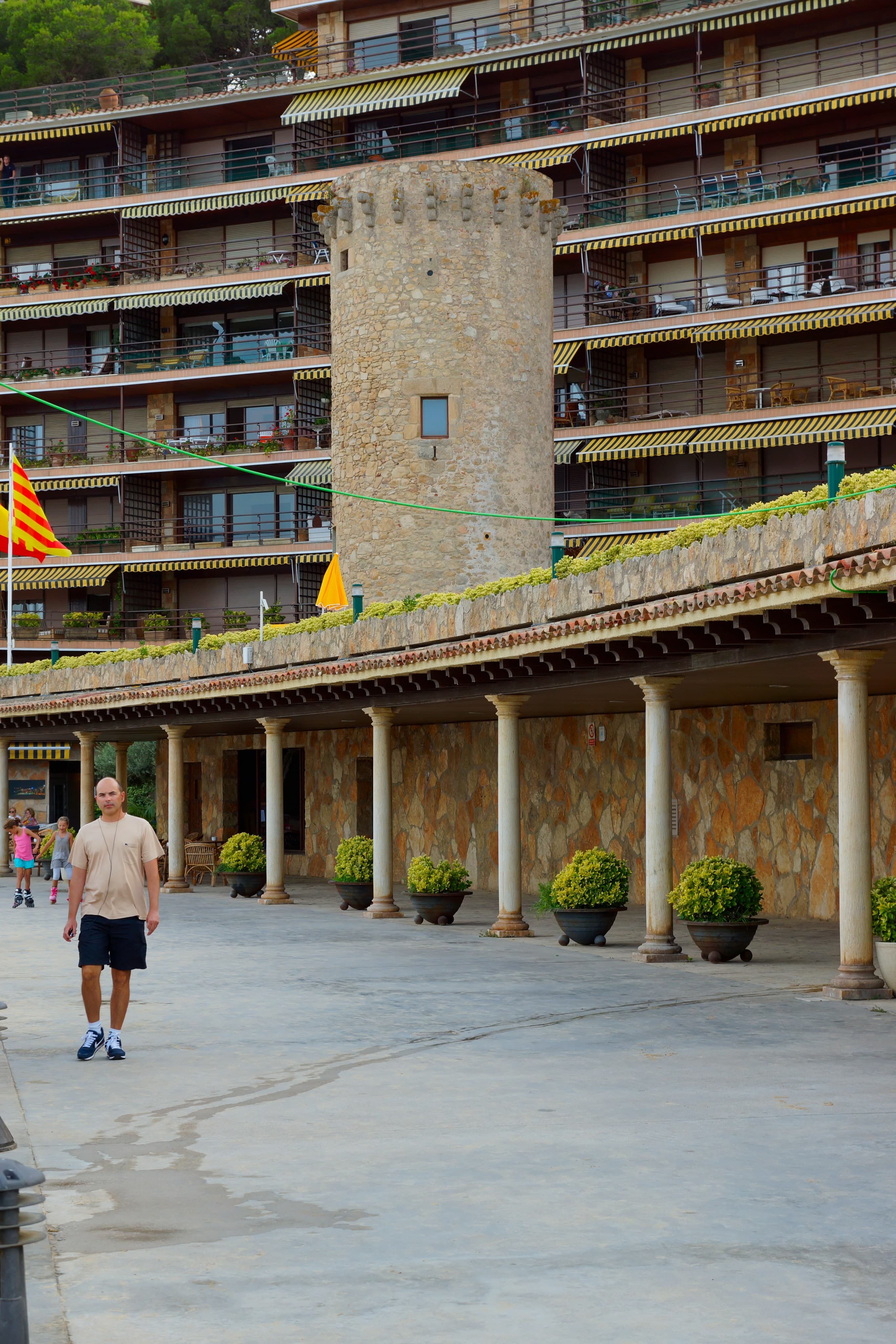
The Torre Valentina, a sixteenth-century stone watchtower, beside the seafront promenade at Sant Antoni de Calonge
The Torre Valentina, one of the watchtowers that once defended this coast.Photo: flamenc / Wikimedia Commons (CC BY-SA 3.0)

The beaches: from Sant Antoni to Torre Valentina

Sant Antoni's beach is the town's main one, golden-sand and fully serviced, good for a family day out. To the south, Torre Valentina beach — separated from the first by the Calonge stream — has a quieter mood and some 500 meters of fine sand beneath the sixteenth-century tower that gives it its name.

Beyond that come the smaller calas: Cala Roques Planes, with rock formations and a good seabed for snorkeling; Cala Cap Roig, between cliffs and scrub; and Platja de Can Cristus, shallow and easy to reach, a good option with children.
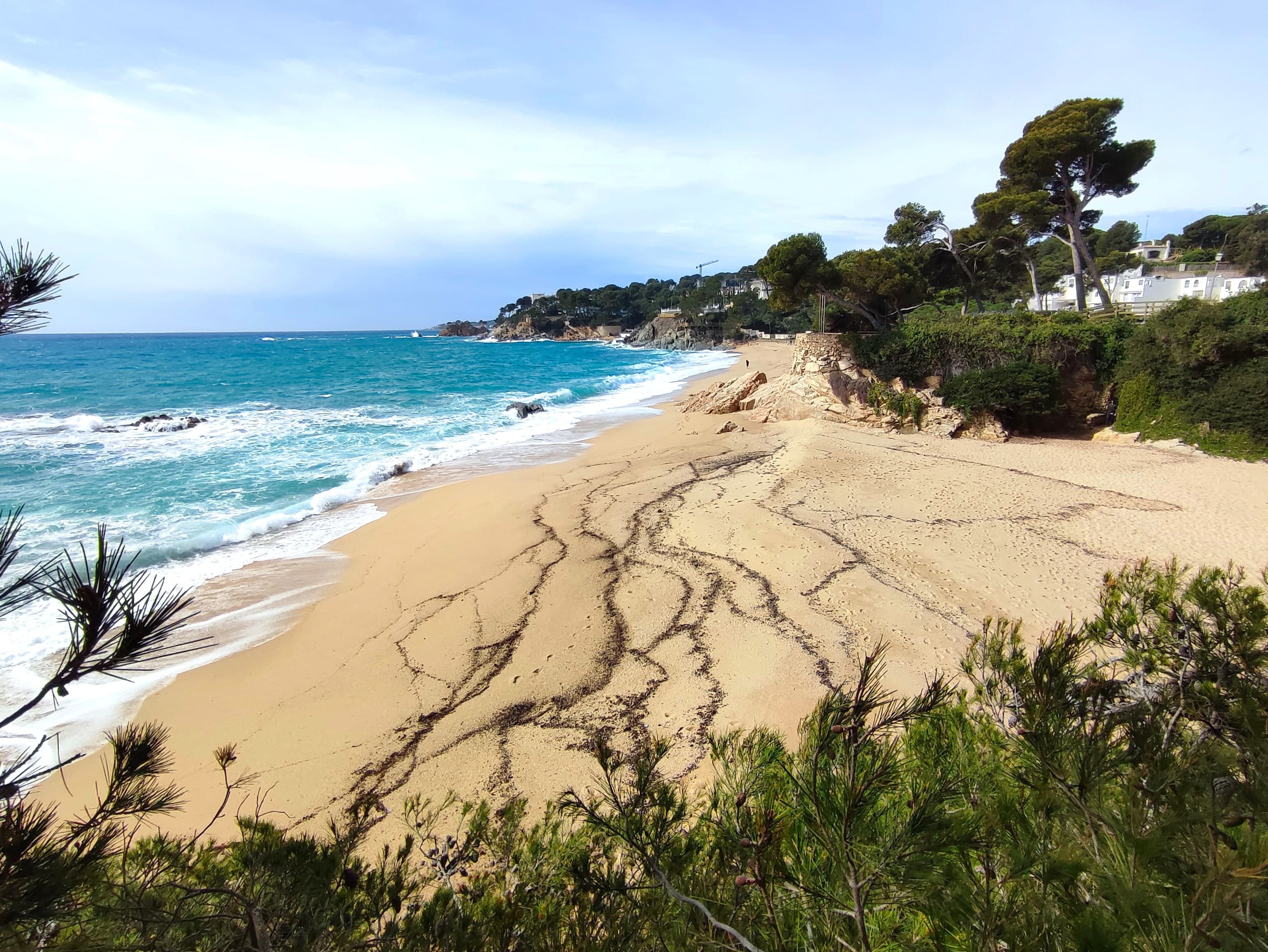
A golden-sand beach at Sant Antoni de Calonge, turquoise sea breaking, pines framing the shore
The beaches at Sant Antoni, golden sand open to the sea.Photo: Joandrés / Wikimedia Commons (CC BY-SA 4.0)

The camí de ronda toward Platja d’Aro

One of the most rewarding hiking stretches in the area links Sant Antoni de Calonge with Platja d’Aro: about 7.5 km of camí de ronda marked with the GR-2's red and white signs, an easy walk covered in around two hours. The path strings together Cala del Pi, Cap Roig and Cala Rovira before reaching Platja d’Aro, the sea keeping you company almost the whole way.
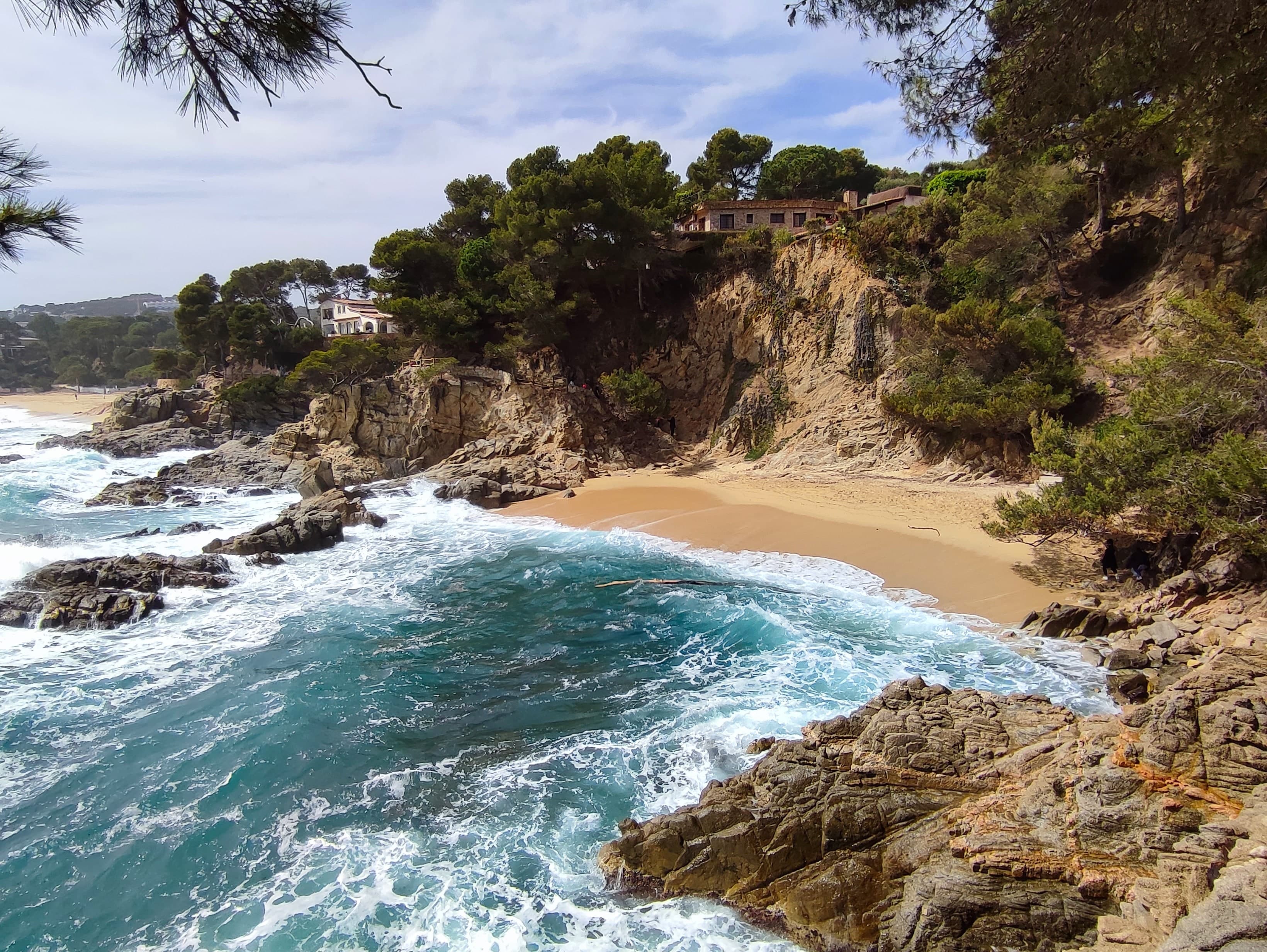
A rocky, turquoise-water cala in Sant Antoni de Calonge, waves breaking, pine-covered cliffs and a house on the rock
One of the calas strung together by the camí de ronda toward Platja d’Aro.Photo: Joandrés / Wikimedia Commons (CC BY-SA 4.0)

Festivals and cultural life

The Fiesta Mayor of Sant Antoni, in January, honors Sant Antoni Abat with parades, dancing and the traditional blessing of animals, much loved by locals. In summer, the Calonge International Music Festival brings concerts to the castle grounds, and in August the medieval fair turns the old quarter into a market of crafts, food and falconry. Year-round, the Ca l'Anita gallery, in central Calonge, shows work by local and visiting artists.
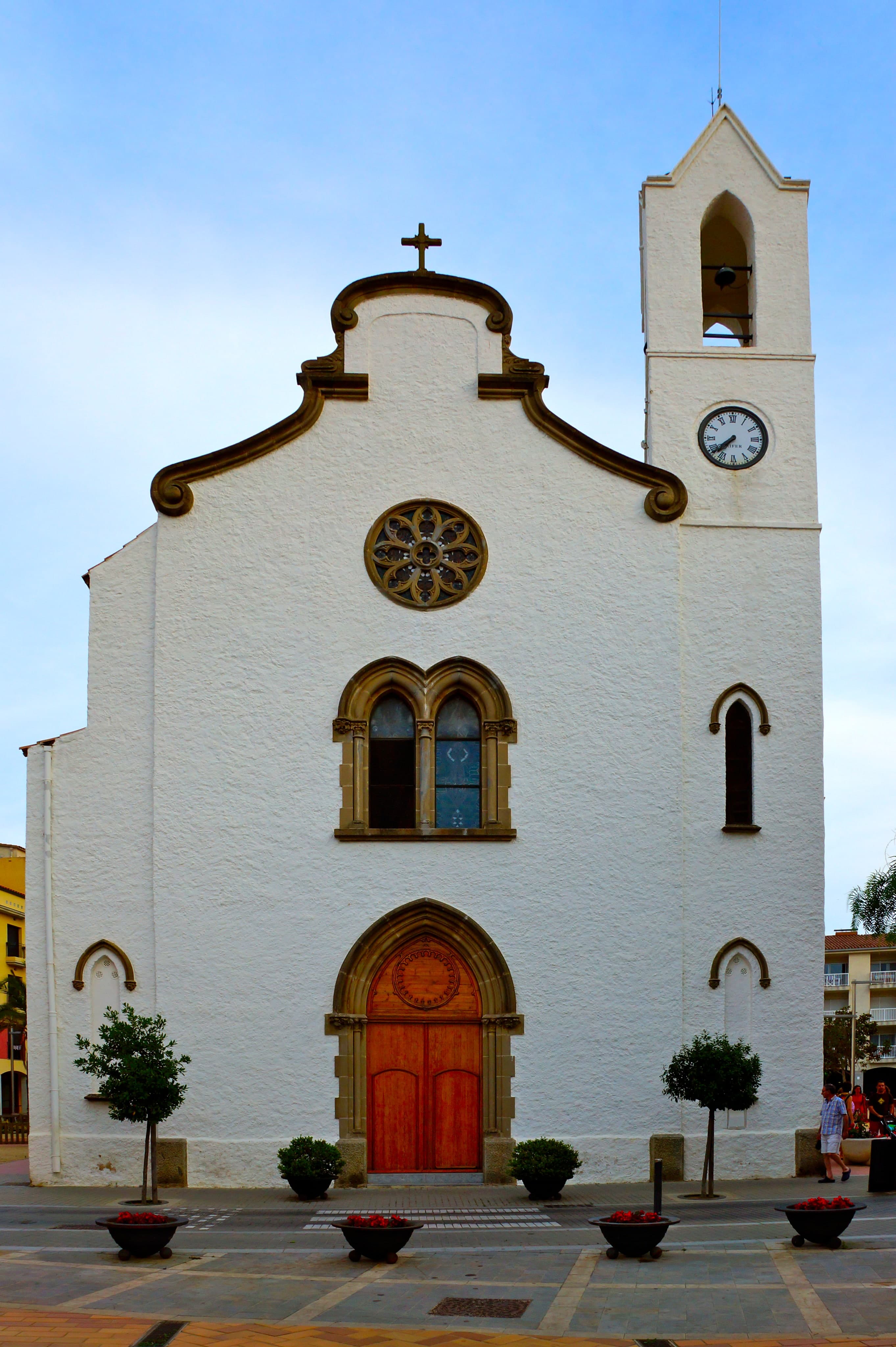
The white façade and bell tower of the church of Sant Antoni de Calonge, on the town square
The church of Sant Antoni, whose patron saint gives the January Fiesta Mayor its name.Photo: flamenc / Wikimedia Commons (CC BY-SA 3.0)

The Sant Antoni de Calonge notebook

Where we go

Sant Antoni de Calonge is best enjoyed split between the beach and the inland town. Here's the short list: where to eat, which cala to head to, and what not to miss in Calonge.

Approximate positions · Sant Antoni de Calonge · Cartography © OpenStreetMap contributors, tiles by OpenFreeMap

Tap a pin or a place in the list to zoom in

Where to eat

  • Seafaring cooking by the harbor. The seafood paella and the zarzuela fish stew, with a terrace over the sea.

  • Catalan cooking with a modern touch, seasonal produce. The tasting menu is worth the special occasion.

  • Home-style family cooking: suquet de peix and arròs negre, no frills.

  • Tapas and a casual mood, with a good list of local wines.

Coves & swimming

  • Quieter than the main beach, beneath the sixteenth-century watchtower.

  • Rock formations and a good seabed for snorkeling. A slightly harder approach.

What to do

  • A medieval fortress in the upper part of town, with concerts in summer.

  • The GR-2 camí de ronda toward Platja d’Aro

    7.5 easy km, about two hours, stringing together three calas along the way.

    No fixed pin

Good to know

Frequently asked questions

What's the difference between Calonge and Sant Antoni de Calonge?

They're the two villages of a single municipality, Calonge i Sant Antoni, about 4 km apart. Sant Antoni is the coastal one, with the seafront promenade and beaches; Calonge is inland, with its medieval old quarter, the castle and the church of Sant Martí. If you're here for the sea, you'll stay in Sant Antoni, but the castle earns the climb.

What is Torre Valentina?

It's the sixteenth-century watchtower that gives the beach its name, built to spot pirate raids on this coast in time. Torre Valentina beach has around 500 meters of fine sand, separated from Sant Antoni's beach by the Calonge stream.

Can you walk from Sant Antoni de Calonge to Platja d’Aro?

Yes, and it's one of the most rewarding stretches in the area: about 7.5 km of camí de ronda marked with the GR-2's red and white signs, an easy walk covered in around two hours. The path strings together calas like Cala del Pi, Cap Roig and Cala Rovira before reaching Platja d’Aro.

Other villages to discover

A turquoise-water cala in Begur, between reddish rock cliffs and pines, with a boat at anchor

Baix Empordà

Begur

Begur sits a little inland, and that one fact explains almost everything else. It isn't a town built beside the water but on a hill above it, with the Mediterranean laid out below: while other Costa Brava towns grew up around a harbor, Begur grew up around a castle, and the calas came later. So nobody here asks which is the beach — they ask which cala you're going down to today. Sa Tuna, Sa Riera, Aiguablava, Platja Fonda, Fornells, Aiguafreda, Illa Roja: a string of small bays linked by the Camí de Ronda, the coastal footpath, each with its own temperament. And behind all of them sits an old quarter of Indiano mansions, quiet squares and cobbled streets that remember something easy to forget now — before it became one of the most coveted places on the Costa Brava, Begur looked west toward Cuba more than east toward Barcelona.

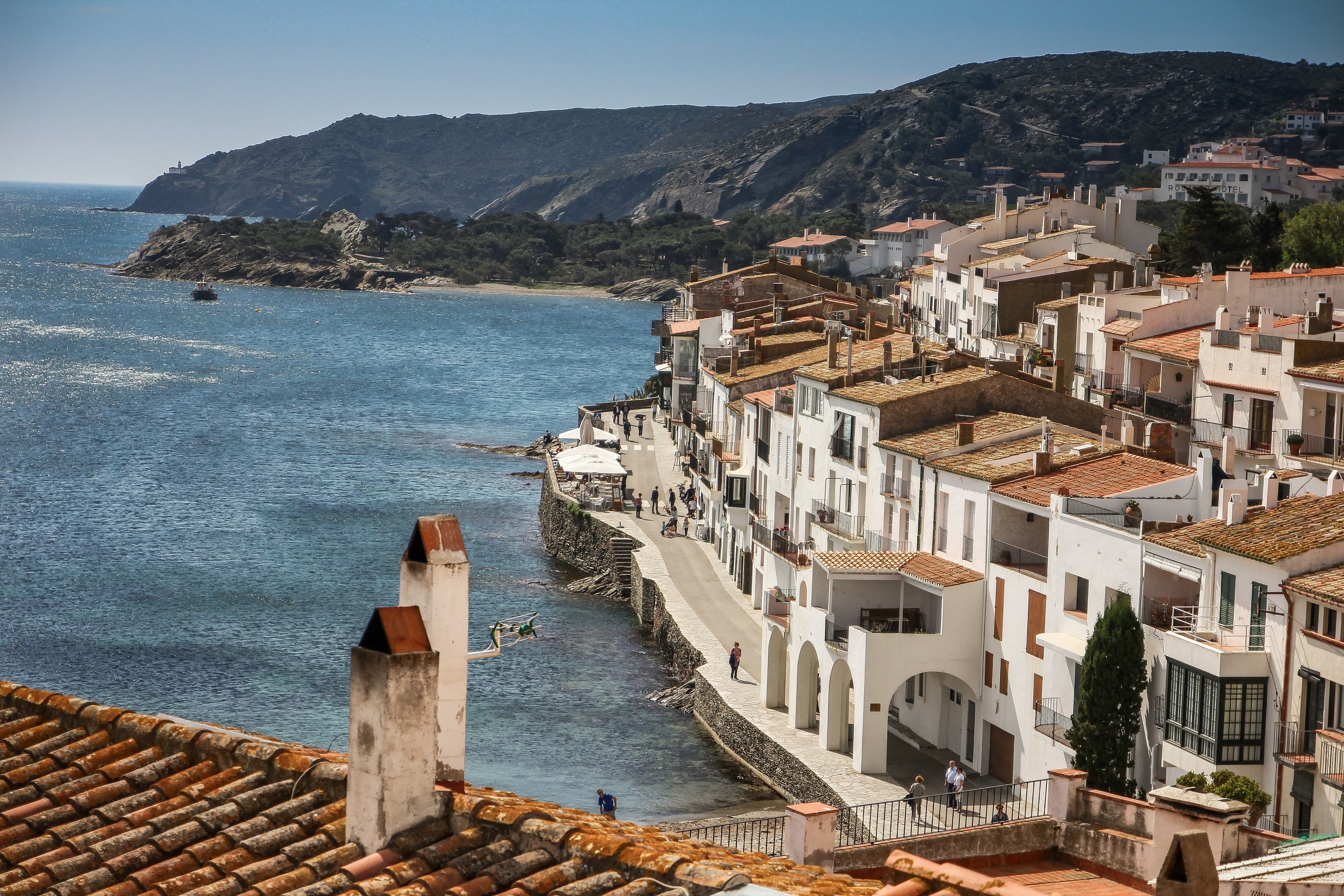
The seafront of Cadaqués beside the water, with the white houses and tiled roofs of the old town and the Cap de Creus coastline behind

Alt Empordà

Cadaqués

Cadaqués is the most photographed town on the Costa Brava, and the hardest to actually get to know. White houses, green shutters, boats drawn up facing the sea, the light that undid Dalí — it's all over every postcard, and none of it explains why people keep coming back. Maybe it has to do with the winding road that kept the town cut off from the rest of the Empordà for centuries, or with that light, which changes by the hour and makes the place feel like somewhere new each morning, noon and evening. You don't come here for wide sandy beaches or a promenade lined with shops. You come to walk slowly, to lose yourself in slate-paved streets, to watch the sea from the rocks, and to understand why this corner of the coast ended up gathering some of the twentieth century's most important artists.

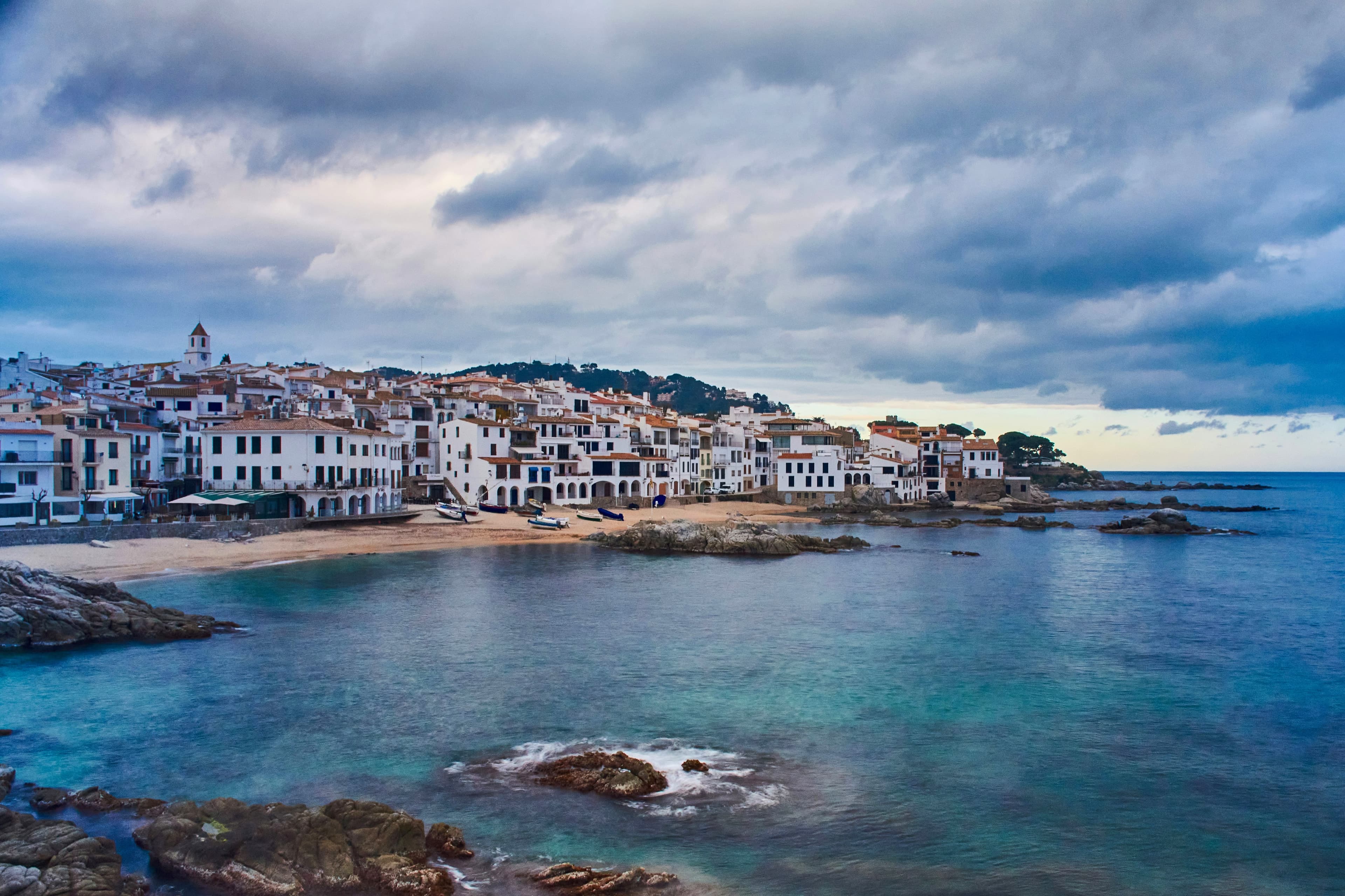
The white town of Calella de Palafrugell and its cala under an overcast sky at dusk, turquoise sea and rocks in the foreground

Baix Empordà

Calella de Palafrugell

Calella de Palafrugell is probably the most recognizable image of the whole Costa Brava. White houses, les Voltes of Port Bo, boats drawn up on the sand, the Mediterranean woven into the town's daily life — it turns up in thousands of photographs every summer. And yet that postcard only tells part of the story: the real Calella shows itself once you step a few meters off the main promenade, walk the Camí de Ronda without hurrying, or come back at dusk, when the terraces start to empty and the town settles back into the unhurried pace it always kept. Because before it became one of the great icons of the Mediterranean, Calella was — and still is — a fishing village.